To answer this question, the Manali → Kaza route via Kunzum Pass usually closes in mid–late October and reopens in late May–early June after BRO snow clearance.
In 2025 the pass and Manali–Kaza were cleared and opened in late May 2025 (around 24–27 May).
However, heavy monsoon rains and landslides in August 2025 have caused intermittent disruptions — so always check the official district / BRO status before you travel.
For those of you who are planning their trip soon, please check the latest status of the roads below.
Latest Status and Quick Facts
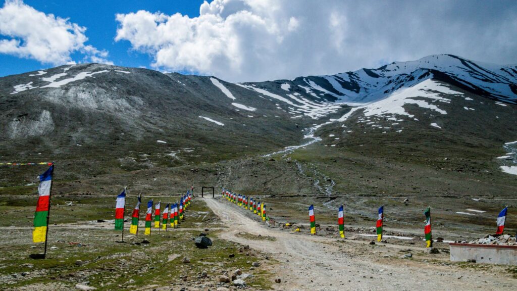
As of 26 Aug 2025: Local/press reports show widespread rain/landslide disruption across Himachal — some major approaches (including stretches to Manali/Atal Tunnel) have been intermittently blocked.
- The Kunzum Pass at ~14,931 ft is the gating point. Travelers usually take the route Manali → Gramphu → Kunzum Pass → Batal → Kaza.
- Typical close window starts from mid–late October and goes on till late May / early June. It may even close early weather-dependent).
- BRO cleared passes in late May 2025 (reported 24–27 May openings), but monsoon rains in Aug 2025 created fresh disruption in parts of Himachal.
- Alternate route: Shimla → Kinnaur → Kaza (the Shimla side is often more reliable during unstable monsoon windows).
Why (And Exactly When) The Manali–Kaza Road Closes
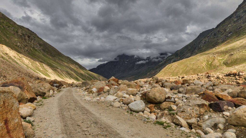
Snow and avalanches close the high passes in winter; BRO clearance decides reopening. Here’s the practical flow:
- Snow accumulation & avalanche risk (Oct → Apr): By late autumn, the high passes (Kunzum, Rohtang, and related stretches), naturally experience significant snowfall. High levels of accumulation, coupled with freeze-thaw cycles, can increase avalanche potential — necessitating seasonal closure for the safety of civilians and for military logistics planning purposes.
- BRO clearance window (spring): When the snowpack has reached sufficient depth and/or the risk of avalanche is reduced enough, the Border Roads Organisation (BRO) will begin clearance and avalanche mitigation in late winter / early spring. BRO has priorities for snow clearance, including the Manali–Leh highway, obviously; the Kunzum / Spiti stretches will be cleared once the strategic links are secured and the conditions are right. Starting dates are relatively constant with variance year-to-year occurring due to the volume of snowfall and available resources.
- Monsoon & landslide risk (Jul–Aug): Even if roads and passes are “opened,” there is still a risk that heavy rains lower down (Kullu, Kinnaur) can trigger landslides that can block feeder roads — leading to temporary or one-way traffic regulations. This also means that a May “opening” may not mean that the road and passes will always be passable during the entire season.
The above calendar is only a guide. The final decision is operational (BRO + district administration) and depends on snow clearance progress, avalanche control, and then on monsoon/landslide conditions.
How The Bro & Local Administration Decide Opening/Closing
- Who:
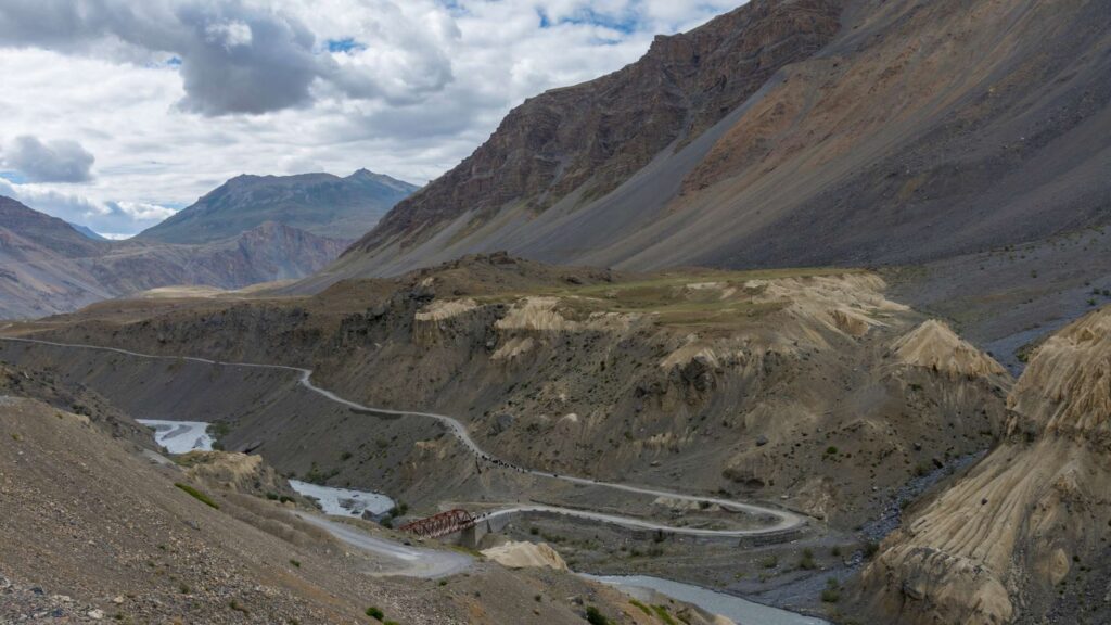
The Border Roads Organisation works together with the Lahaul and Spiti district leaders and the local police to clear away snow and make the mountain roads safe for people to travel again. The Border Roads Organisation does the hard work of actually removing the snow using machines like bulldozers and snow blowers, while the district leaders issue notices and advisories about the opening and closing of the roads. The police help by controlling traffic and making sure drivers follow safety rules during this time.
- What they measure:
These teams check several important things before opening the roads, like how deep the snow is on the high mountain passes where it’s hardest to drive. They also look at weather reports to see if more snow is coming soon, which could make things worse. They use special maps to spot areas where avalanches might happen. After the snow starts melting, they inspect bridges and small tunnels under the roads to make sure they’re strong and not damaged by the water or ice. They also check if the roads can drain water properly and if there are any other safety problems, like loose rocks. If any of these things look unsafe, they wait longer to open the roads.
- Typical operational pattern:
Usually, the teams start by clearing the big, important roads first, like the one from Manali to Leh, because it’s a main path for trucks, tourists, and supplies. After that, they move on to smaller high-mountain side roads, such as the one from Gramphu to Kunzum Pass. Even when they say a road is open, they often have rules to keep everyone safe, like only allowing cars with four-wheel drive, making vehicles travel in groups at certain times, or not letting motorcycles go through at all. These rules stay in place until the roads are fully smoothed out and fixed, which can take days or weeks, depending on the weather. This way, travelers can enjoy the beautiful mountains without too much danger.
How To Track Live Road Status
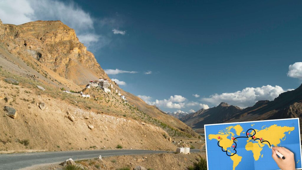
Do these three checks in this order the day before you depart, and again the morning of your departure:
- Official district road-status page (primary).
- Check the Lahaul & Spiti district “Road Status” page for the authoritative open/closed line-by-line status. Consider this as your primary source of information. HP Lahaul Spiti
- BRO / Atal Tunnel / Central updates (secondary).
- BRO issues operational updates when they finish clearing or when convoy/one-way rules are imposed. For Rohtang / Atal Tunnel/Manali links, BRO pages are essential for tunnel/strategic-route notices. If BRO says “open with restrictions (4×4 only / convoy)”, treat that as binding. Border Roads Organisation
- BRO issues operational updates when they finish clearing or when convoy/one-way rules are imposed. For Rohtang / Atal Tunnel/Manali links, BRO pages are essential for tunnel/strategic-route notices. If BRO says “open with restrictions (4×4 only / convoy)”, treat that as binding. Border Roads Organisation
- Reliable aggregator & travel communities (cross-check).
- Use trusted travel sites that keep status pages, such as Spiti Valley Packages, for a quick read and extra context, but use them only as corroboration. Also check local travel groups (Spiti travel Facebook groups/Telegram) for on-the-ground photos and convoy reports. Always verify any community report with the district/BRO page.
Extra practical tips for reading updates:
- If a page says open for 4×4 only, then plan for high clearance or hire a local SUV.
- If it says convoy/one-way, then expect delays; fuel up and carry snacks.
- If it says open, but road repairs are ongoing, then drive cautiously and avoid night travel.
- Save screenshots of the official page (dated) before you leave at remote checkposts, as mobile data may be spotty.
Alternative Routes & What To Expect (Shimla → Kaza vs Manali → Kaza)
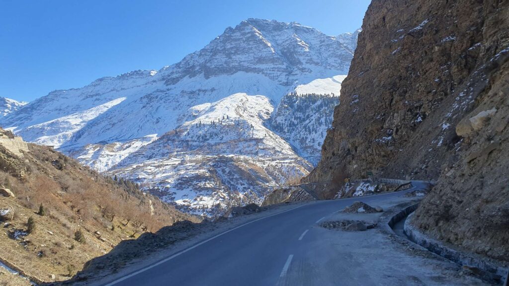
Two main ways to reach Kaza. Pick based on season, time, and your tolerance for rough roads.
Manali → Kaza (via Kunzum Pass)
- Pros: Far more scenic from the Lahaul side, direct approach to Chandratal, shorter if the pass is open. Legendary high-altitude feel.
- Cons: Kunzum Pass is the gating point — closed in winter (mid-Oct → late-May typically); spring openings vary. Even in summer, feeder roads can be hit by landslides during the monsoon. Use this route if Kunzum is officially open and you’re driving a high-clearance vehicle.
Shimla → Kaza (via NH-5 / Kinnaur)
- Pros: More reliable in shoulder/monsoon months and less avalanche-sensitive; often the go-to when Manali→Kaza is still blocked. Good for contingency planning (longer but steadier).
- Cons: Longer driving time; some remote stretches have sparse fuel/amenities. You may need an Inner Line / Protected Area Permit if you’re a foreign national for some stretches beyond Reckong Peo.
Pick this if…
- You want reliability and fewer weather surprises → take the Shimla route.
- You want classic Spiti + Chandratal + Kunzum experience, and the pass is officially open → take the Manali route.
Recommendation: If your trip is in May or late Sep–Oct, check the district/BRO status every 48 hours. Because lots can change quickly.
Safety checklist

Pack and prep like a local. These items reduce risk and avoid last-minute cancellations:
- Documents: Government ID (Indian nationals) / Passport + PAP/ILP for foreigners. Multiple hard copies of any permits.
- Vehicle: High-clearance SUV or 4×4 recommended if Kunzum is listed as “4×4 only”. Full service pre-trip, spare tyre, jump leads, toolkit, tow rope.
- Fuel & power: Fill up at Manali/Keylong; fuel pumps are scarce beyond Kaza. Carry extra fuel in approved cans only if you must.
- Safety & comfort: Warm layers, first-aid kit, water, high-energy snacks, sunscreen, sunglasses.
- Communication: Power banks, local SIM (Jio/Airtel typically better in the region). Download screenshots of official road-status pages.
- Emergency contacts: local taxi / BRO unit / SDM office numbers (listed below).
- Driving rules: Avoid night driving; follow convoy timings; obey BRO/district police signage.
Pro Tips If You Must Travel Right After Opening

Opening day (and the first few weeks) is exciting — and fragile. The road has been freshly cleared but not fully repaired.
- Wait 48–72 hours if you can. Freshly cleared roads often have loose boulders, weak shoulders, and incomplete grading; small delays can save you from big trouble.
- Drive slow & early. Start early to avoid afternoon thaw/rockfall. Early daylight = safer passes.
- Hire local driver/guide for the first trip. Locals know the tricky pinch points after snow clearance.
- Expect restrictions. Even when declared “open,” authorities can enforce one-way movement, time windows, and 4×4-only rules. Plan spare days.
Permits, Fuel & Essential Services

Permits: Indian nationals do not generally need an Inner Line Permit to visit most of Spiti. Foreign nationals must obtain a Protected Area Permit / Inner Line Permit for stretches (e.g., beyond Reckong Peo), and these are issued by district/regional offices — check the Lahaul & Spiti “Foreigner” or ADM offices. Get permit details well before travel or arrange via a registered travel operator.
Rohtang permits: If you’re crossing Rohtang, check online permit portals (Rohtang permit/Atal Tunnel guidance) — though some permit functionality is now online, verify current procedures with local authorities.
Fuel: Last major petrol pump is usually in Kaza on the Spiti side; beyond Kaza fuel is scarce. Plan fuel stops carefully.
Cash & connectivity: ATMs are limited (Kaza has one); carry cash. Mobile coverage can be patchy so download offline maps and save emergency numbers.
FAQs
- When does the Manali–Kaza road usually close?
Typically mid–late October and remains closed through winter, reopening in late May – early June depending on BRO clearance and snow conditions. - Is Kunzum Pass the reason the route closes?
Yes, Kunzum Pass (the high gate between Lahaul and Spiti) is the main reason; heavy snow and avalanche risk force seasonal closure. - Which route is better in the shoulder season (May / Sep)?
If Kunzum is declared open, Manali→Kaza gives classic Spiti scenery. If it’s still blocked or unstable (monsoon/landslides), take the Shimla→Kaza route for reliability - Do I need a permit to visit Spiti / Kaza?
Indian nationals usually do not need an ILP for most of Spiti. Foreign nationals typically require a Protected Area Permit / Inner Line Permit for certain stretches beyond Reckong Peo — arrange in advance. - Are bikes allowed right after the pass opens?
Authorities often restrict two-wheelers in early opening windows (4×4 only or convoy) — confirm the “open with restrictions” wording before assuming bike access.
